Aerial geophysics produces additional data to complement other available information (geological maps, drilling and seismic data, etc.) to support better descriptions and better understanding of the depth of the earth, with planning, water and material resources, geothermal energy, knowledge of underground spaces and geology in general. The main advantage of geophysical surveys from the air is that they are able to cover very large areas in a short time, thus avoiding lengthy field search campaigns. In addition, almost the entire territory of interest may be covered by the study, except for large urban areas and some other limited places or zones.


Helicopter aerial geophysical surveys
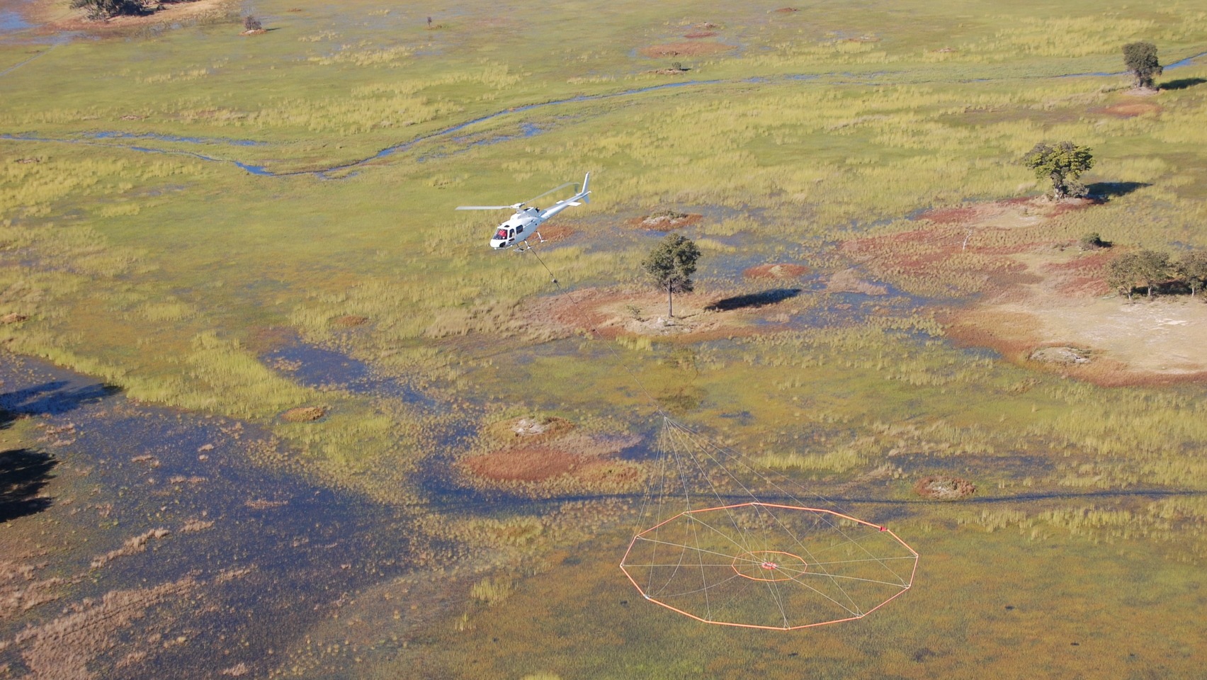
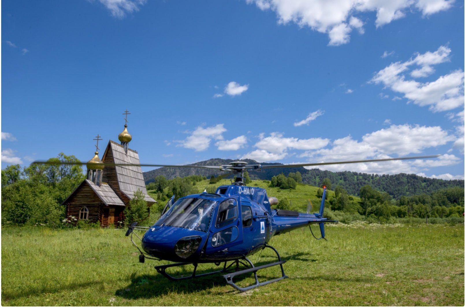
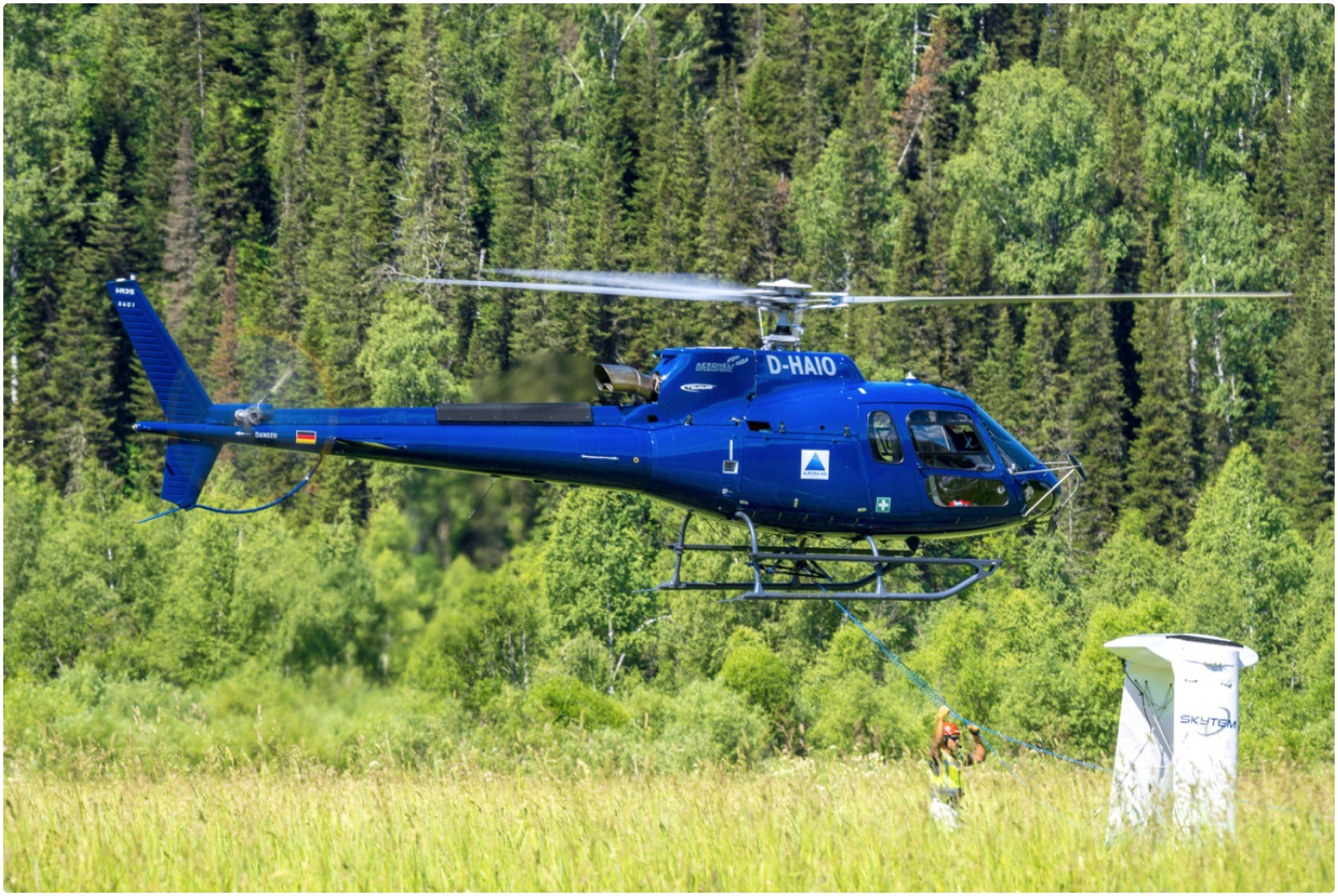
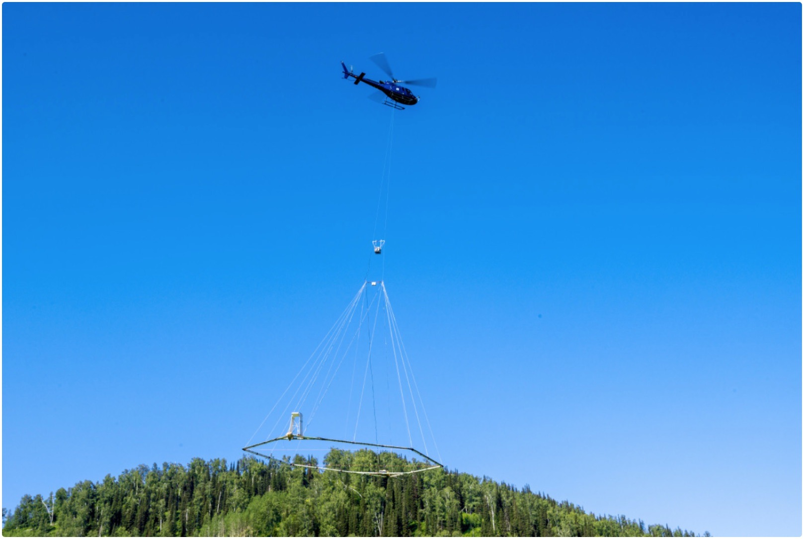
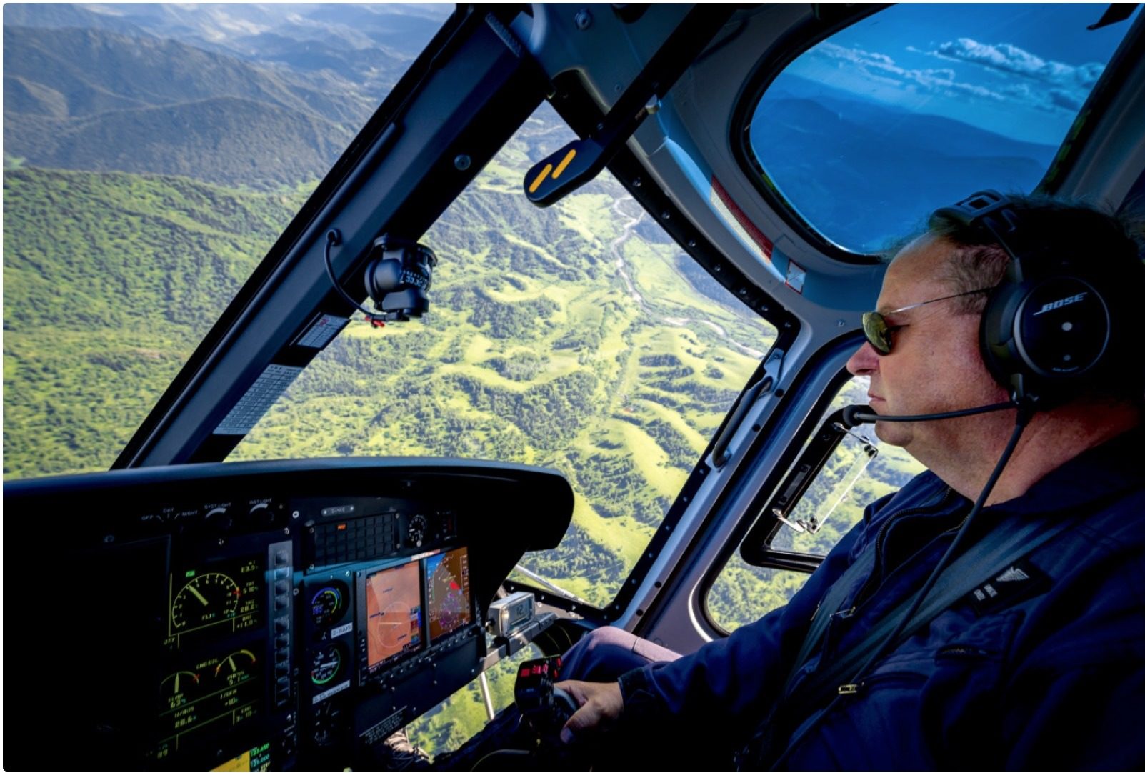
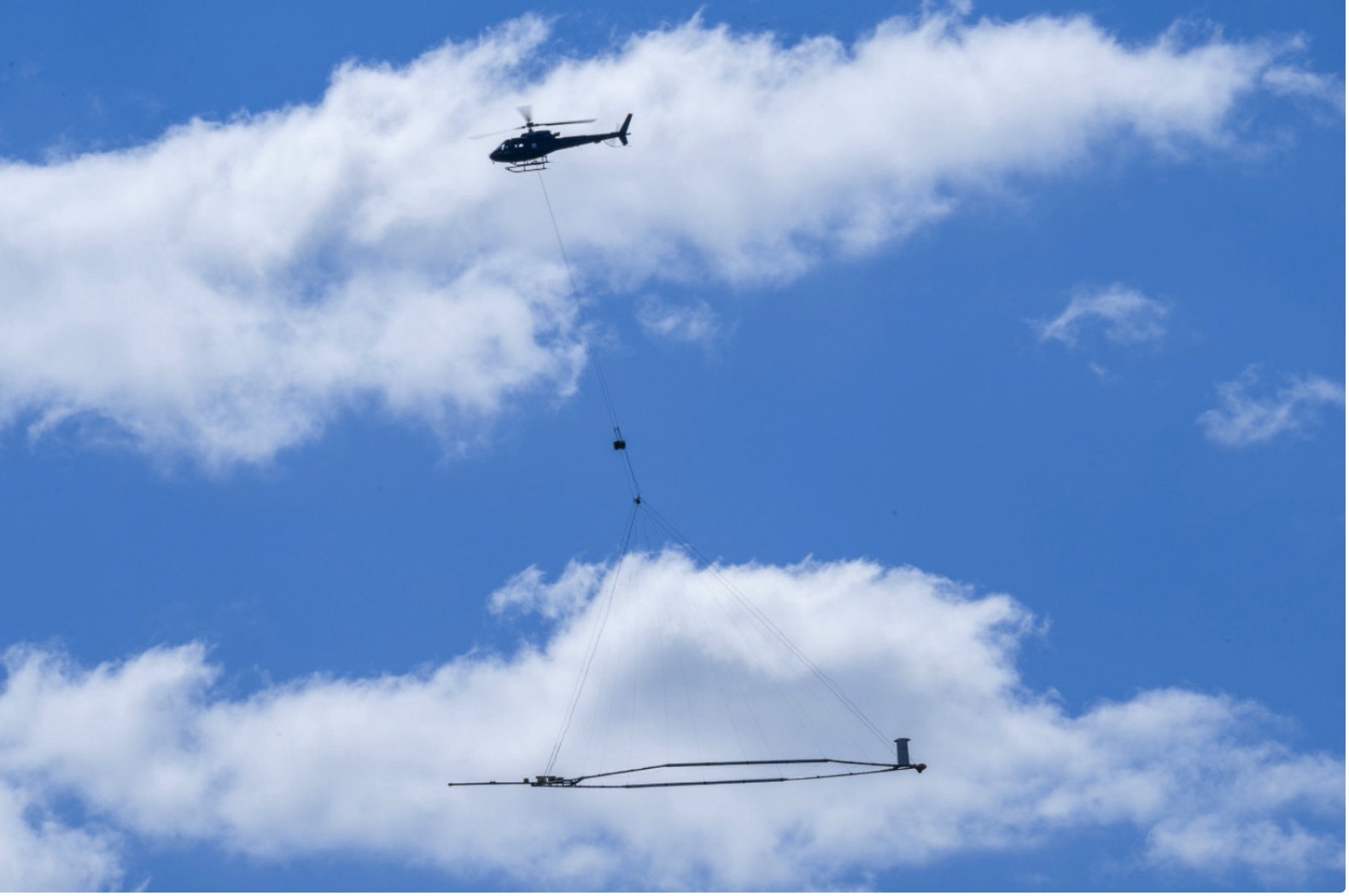
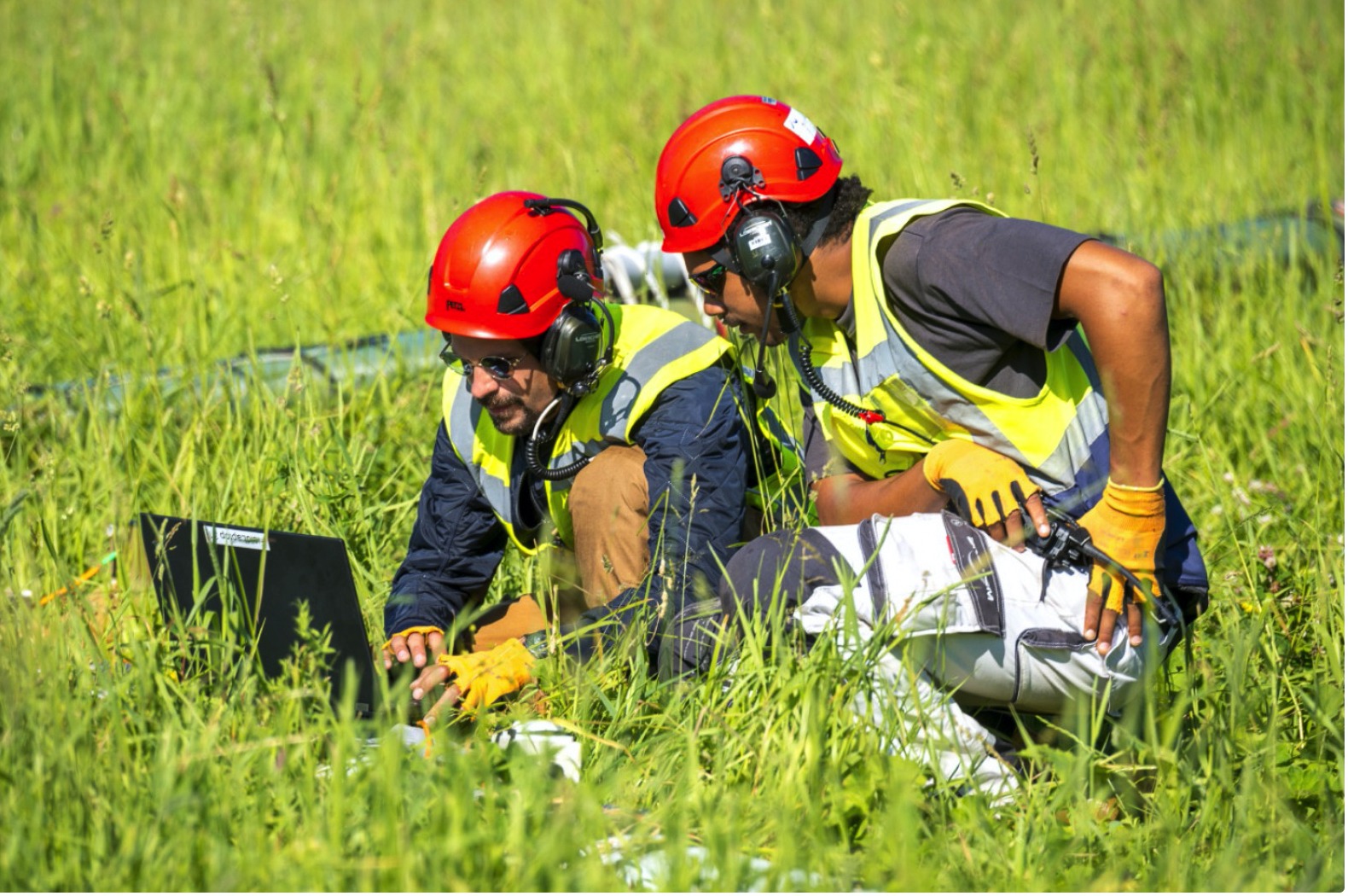
Our company has unique experience in the very demanding field of aerial geophysics. We organized many hours of flights in extremely demanding and remote areas under the strict supervision of the global Flight Safety Foundation. Minimal error of discrepancy on the search lines, very accurate height and speed control, and at the same time maintaining perfect control of the suspended load, are perfectly adjusted skills acquired by our pilots. We have experience in flights with SkyTEM systems. SkyTEM is a leading aerial geophysical company offering acquisitions and advanced processing of electromagnetic transient (TEM), magnetic and radiometric data, with exploration experience on all seven continents.
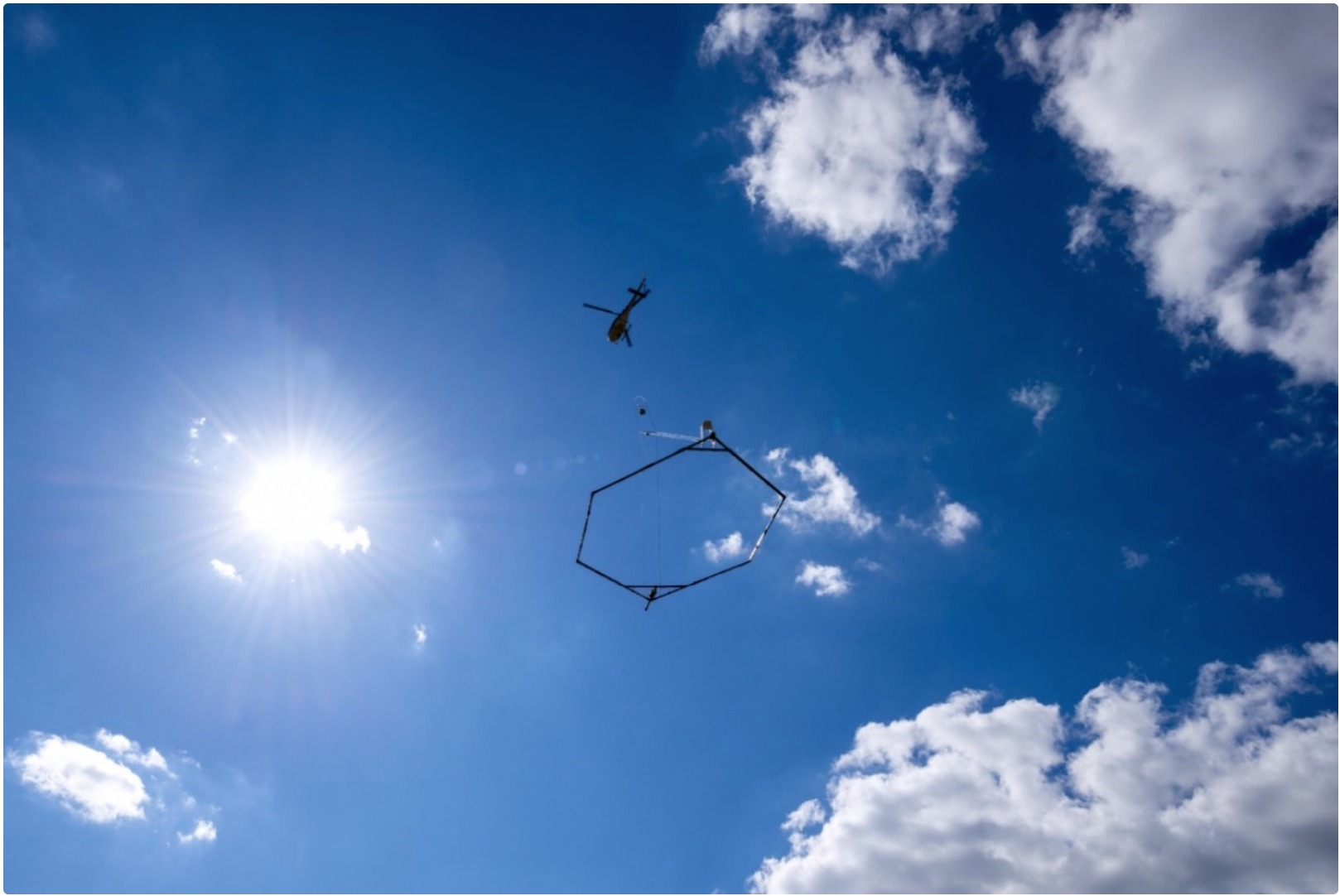
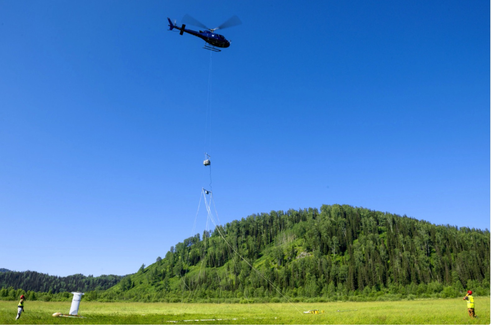
The measuring equipment (magnetometers) – installed on helicopters, in either “stinger” or “towed bird” configurations – can be used to make vertical, transverse, longitudinal gradient and / or total magnetic field measurements by using a range of different sensors. A typical magnetometer installation comprises of some, or all, of the following subsystems:
A Sensor
An Orienting Gimbal
A Signal Processor and/or Compensator
An Airfoil to keep the “bird” straight

Aviation geophysical equipment – SkyTEM System Features
The SkyTEM method is applied globally for mineral exploration. As the only system capable of operating in dual transmitter modes SkyTEM delivers accurate near surface data together with data to depths up to or greater than 500 m in some cases. The system discriminates between weak geological contrasts giving a more complete and accurate interpretation of geology while increasing confidence in modeling deeper geological structure. Other advantages for resource exploration are:
- Extremely high signal to noise ratio and late time gates for enhanced data quality at depth;
- Fast turn-off time and early time data for resolving near surface layers as well as more resistive layers;
- Elimination of signal drift and a one-time calibration procedure so data manipulation is greatly reduced;
- All sensors mounted on the rigid carrier frame to measure frame geometry and orientation for ensuring extremely accurate inversions;
- No operator required in the helicopter reducing weight, fuel consumption and risk;
- No STC is required, allowing for quick installation in a variety of helicopter types.

Flight Safety Foundation – Basic Aviation Risk Standard (BARS)
Flight Safety Foundation in cooperation with the resource sector, established the Basic Aviation Risk Standard (BARS) program. The program aims to improve safety in contracted air operations in distant and dangerous environments. In addition, it aims to raise aviation safety standards and support organizations in aviation risk management. The program is world-class in terms of scope and quality of its scope and innovation.
The Foundation’s Basic Aviation Risk Standard (BARS) program is designed to provide organizations that engage contracted aircraft operators with a standard to assist in the risk-based management of aviation activities. The Standard is suited to any organization that uses aircraft operators to provide contracted aviation support for their operations, particularly within remote and challenging environments. The BARS program is managed out of the Foundation’s Melbourne, Australia, office.